Immersive Explorers
Raise capital with a project investors actually understand.
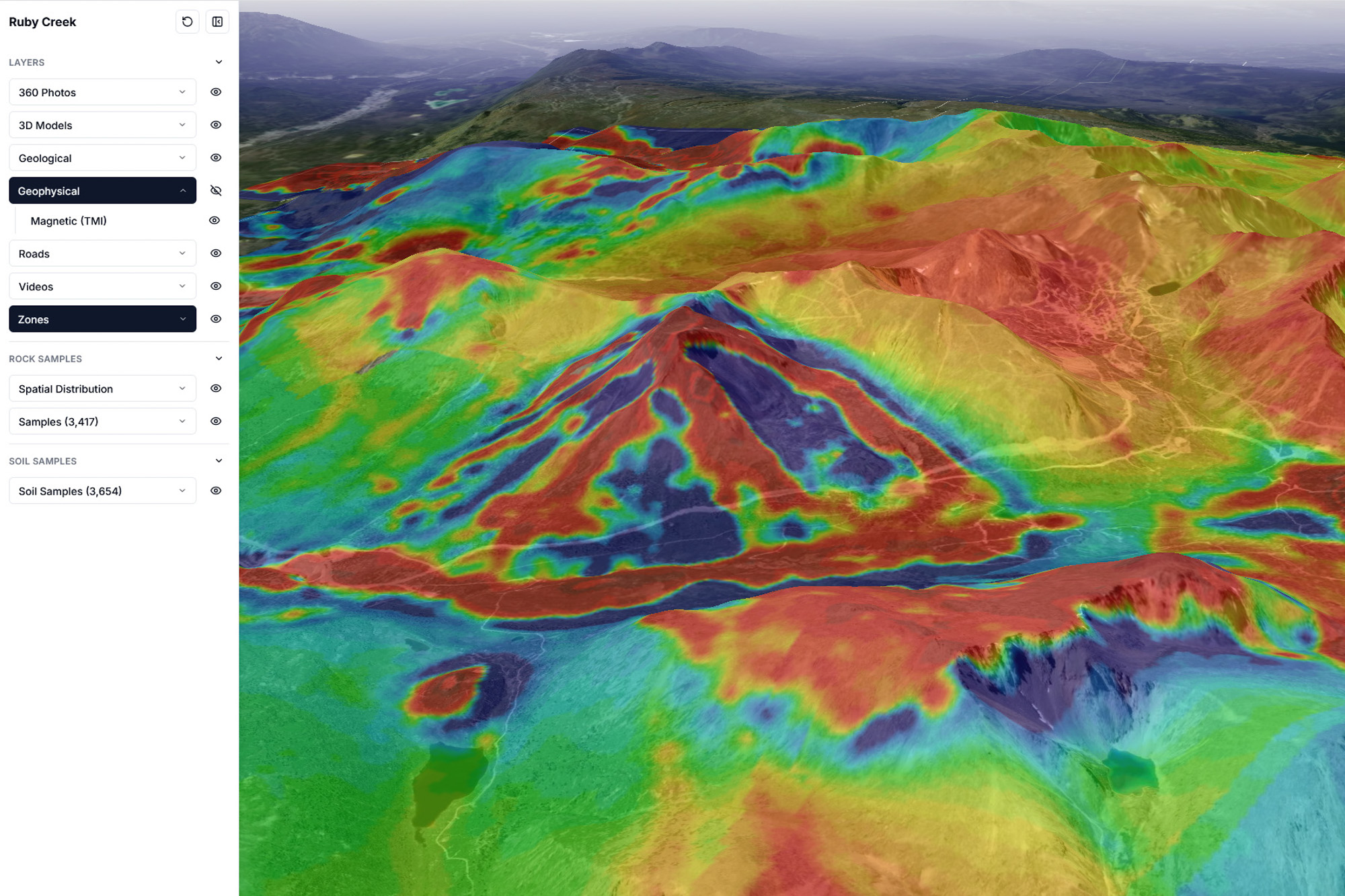
This is how investors visualize the opportunity.
Brings geology, drill proof, maps, and site media together to tell your project's story in 3D reality.
Capital moves fast. Deliver the clarity that drives funding.
Presentation trails the rocks

Static decks hide the asset
Flat slides strip away the environment. Investors never experience the physical reality of your ground.
Quality media builds instant connection
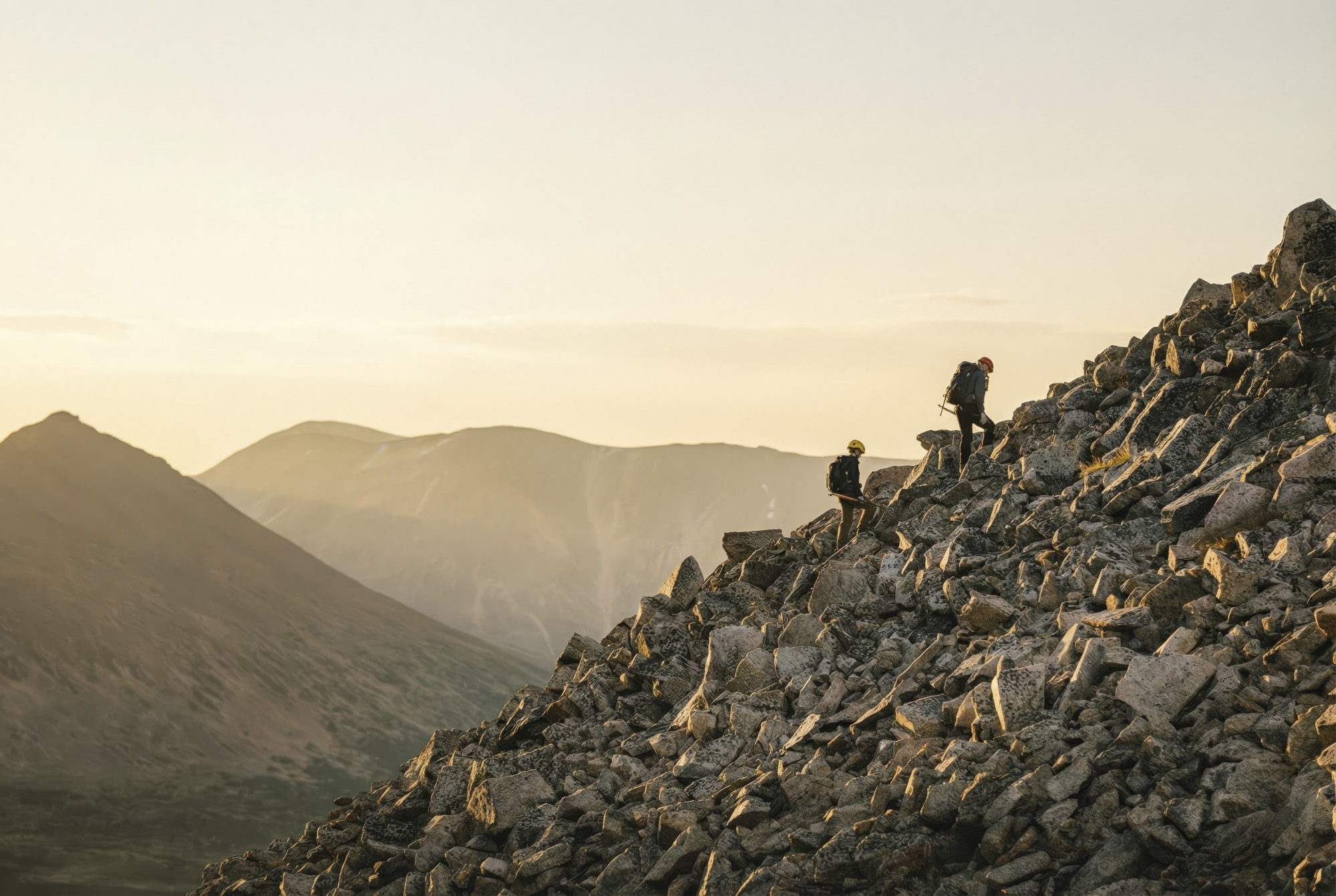
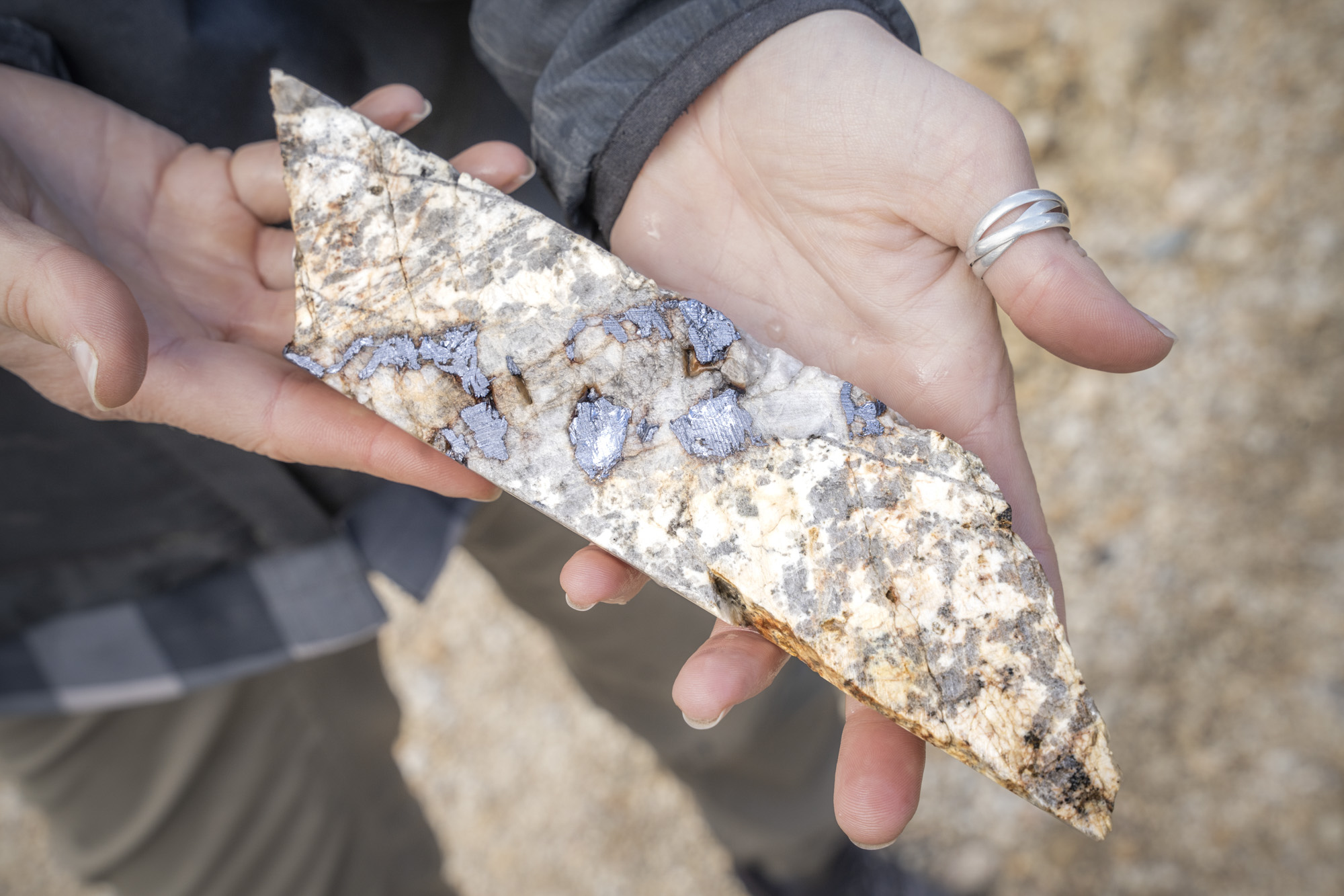
In a competitive market, low-resolution visuals get scrolled past. Premium site photography and video bridge the gap between the field and the boardroom, making your project impossible to ignore.
Decoding data kills conviction
Complicated 2D graphics force investors to mentally piece the map together instead of actually hearing your investment thesis.
Locked data can't sell your project
Technical data shouldn't be trapped in a silo. We pull your maps, infrastructure, geological and geophysical data out of disconnected programs and spreadsheets, putting them into a single, high-fidelity environment that is built for effortless sharing and instant exploration.
Leadership outcomes
Built for CEOs raising capital
Replacing fragmented data with visual clarity. A high-fidelity environment that moves the boardroom from "What am I looking at?" to "How do I fund this?"
Sharper investor conversations
Answer the "where" and "how" instantly. Show exactly how your asset connects to the nearest town, airport, and power grid, proving your project's accessibility, claim boundaries, and relationship to the deposit within its real-world environment.
A tighter fundraising story
Stop losing the room in the technical weeds. By unifying your geological model with professional site visuals, you keep the conversation focused on your investment thesis and the project's ultimate value.
Instant technical credibility
Professionalism builds conviction. By organizing your maps, assays, and site media into a single source of truth, you demonstrate that your project is de-risked and ready for serious institutional scrutiny.
Command the room with total data control
Investors trust what they can see for themselves. When the conversation shifts, shift with it. Search assay results by mineral and filter drill holes by grade, instantly turning a static pitch into a live, interactive masterclass on your asset.
Product demo
See how your project could be presented to investors
One live experience — geology, drill data, maps, and site evidence together.
This is how a project becomes easier to understand, easier to trust, and impossible to ignore.
Geology, drill results, claim boundaries, infrastructure, and immersive site media in one view.
Opens the hosted viewer in a new tab — same experience on your own data after onboarding.
EraNova Metals
“Immersive explorers has been an incredibly helpful tool to help investors understand the scale and depth of work that has been done on our broader property.”
It helps to tell the story both to the technical and non technical investor. While I use it regularly during presentations to explain the Ruby Creek story, it also serves as an excellent platform to host all the property wide media and educational content we've invested in to tell the broader story.
Technical teams ship the evidence. Leadership owns the room.
Real data, one workspace
Geology, geochem, geophysics, drilling — one spatial workspace, not export sprawl.
Interpretation that stays honest
Geologist-led layers; optional pattern highlights — judgement-first.
Diligence-grade depth
Leadership presents the same map reviewers interrogate.
Show investors your project the way it deserves
Markets skim hard — clarity earns the second look.