 Live viewer
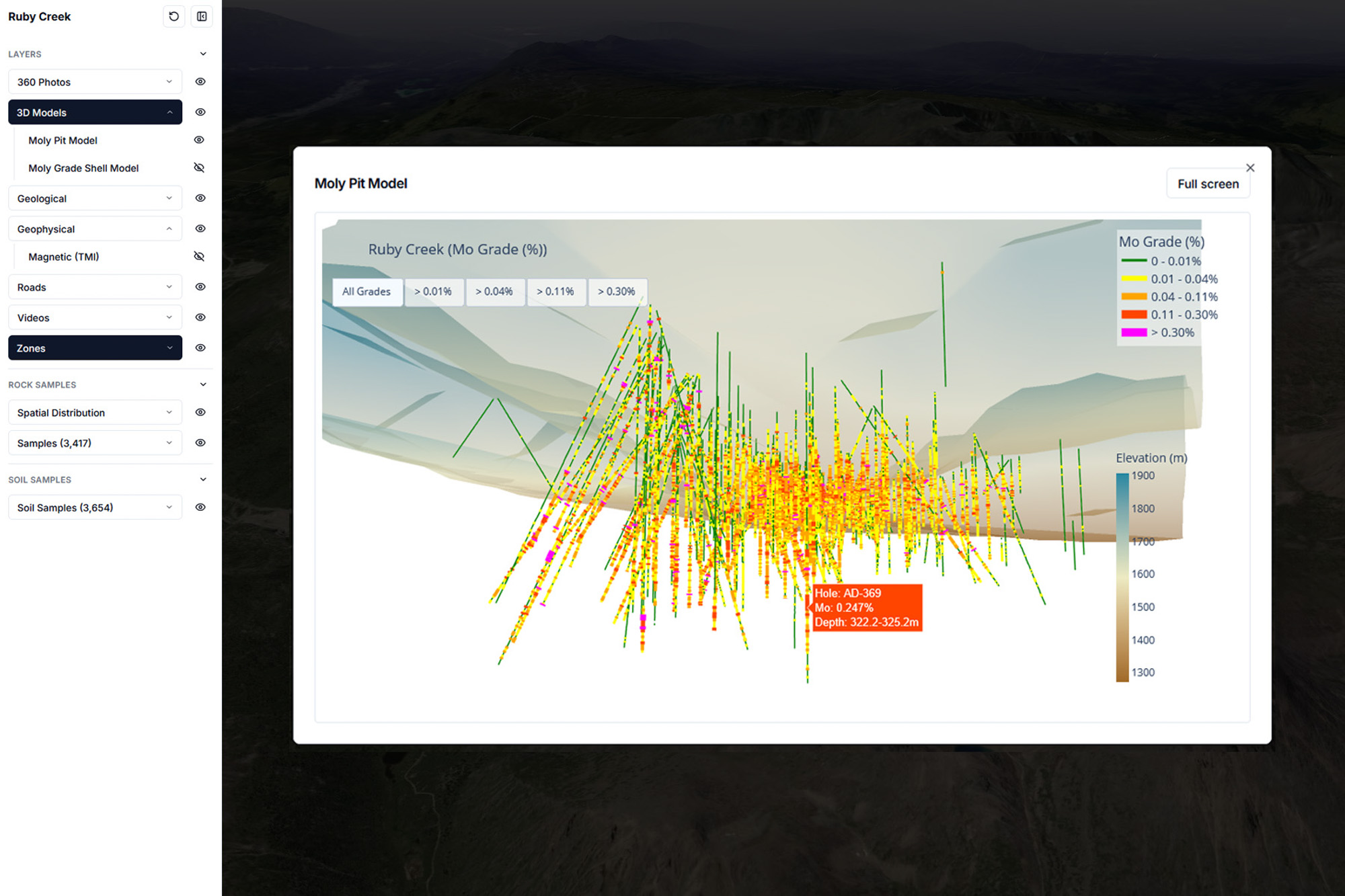
Drillhole model generator
Generate and inspect 3D drillhole models directly in the investor view.
Platform
We bridge the gap between technical complexity and capital commitment. Your 3D models, drill results, and site media—unified in a single interactive environment that proves the scale and reality of your project in seconds.
Live viewerGenerate and inspect 3D drillhole models directly in the investor view.
 Live viewer
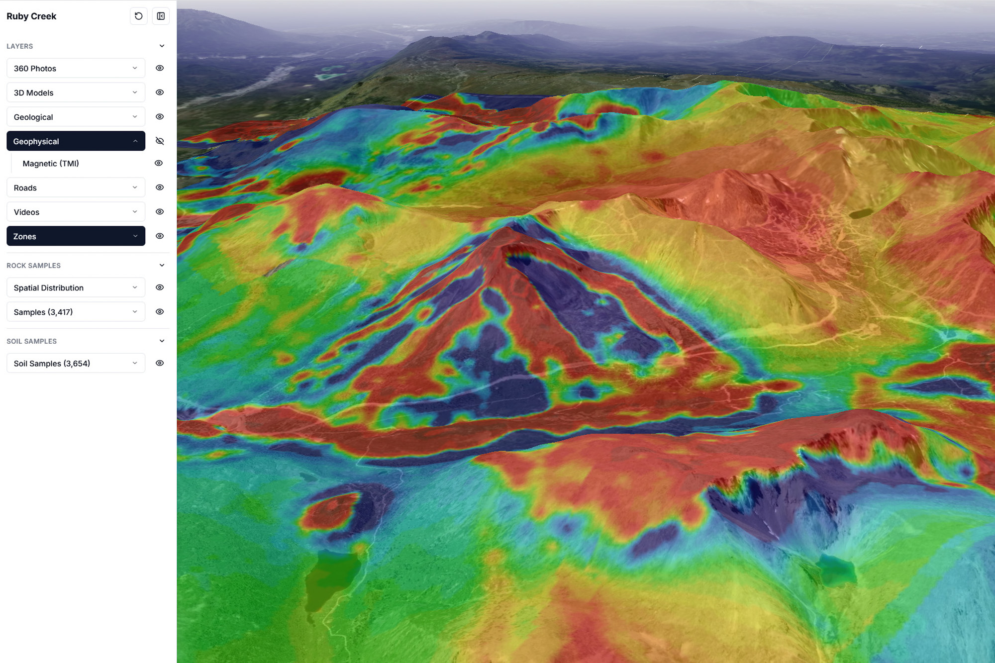
Layer magnetic and geological overlays so structure and targets are instantly legible.
 Live viewer
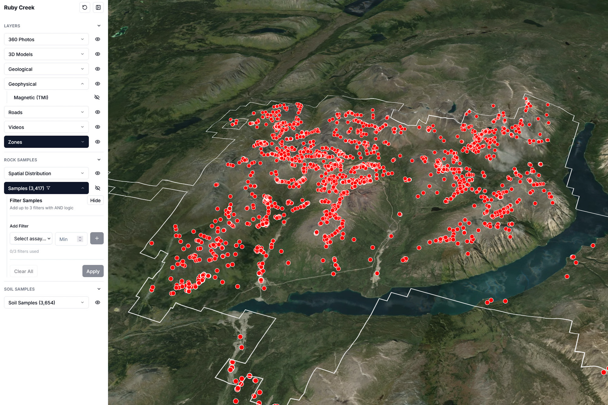
Show rock and soil sample distributions in context with filtering and spatial traceability.
Core capabilities in one investor-ready surface. Paired with our content capture for geolocated media and field evidence.
Generate and update drillhole models directly in the investor view. Instantly transform raw assay data into interactive 3D visualizations that show the scale and continuity of the deposit. Filter by grade to highlight key intercepts and view the precise depth of every sample—providing technical clarity for every stakeholder.
Overlay your geophysical and geological data directly onto the 3D terrain. This allows for a clear, unified view of subsurface targets and geological structures, providing spatial precision for your project's technical thesis.
Anchor physical evidence to digital data. Show every rock and soil sample georeferenced on the 3D terrain. Filterable by mineral and grade, allowing stakeholders to view any assay result in just a few clicks.
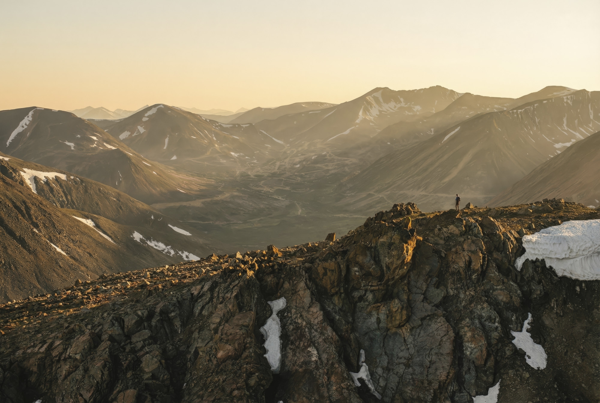
Launch geolocated content from interactive map viewpoints. Access immersive 360° photos and cinematic drone footage directly from the project map. Every piece of media is anchored to the exact GPS coordinates where the evidence was captured, providing immediate site context.
Define the project footprint and logistical viability. Display property boundaries and existing road networks over the 3D data. This demonstrates exactly where the discovery sits within the regional landscape and how the asset connects to local infrastructure.
Access the full 3D experience via a secure web link. Share the project without hardware requirements or software installations. Once onboarded, the project is a living asset that updates in real-time as new data and content are generated.
Screens
Geology & structure
Exploration signals
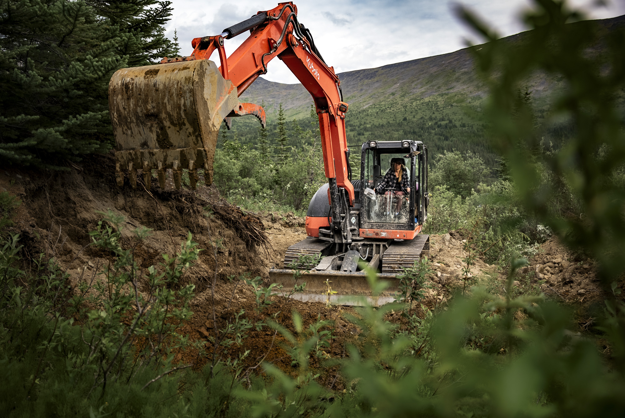
Drill and field operations
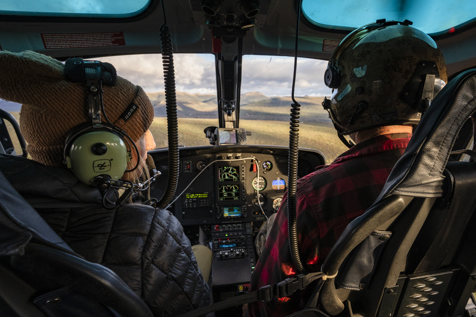
Site media and access
Geologist-led pattern highlighting is optional — see Content capture.
View the demo first, then book on your data.