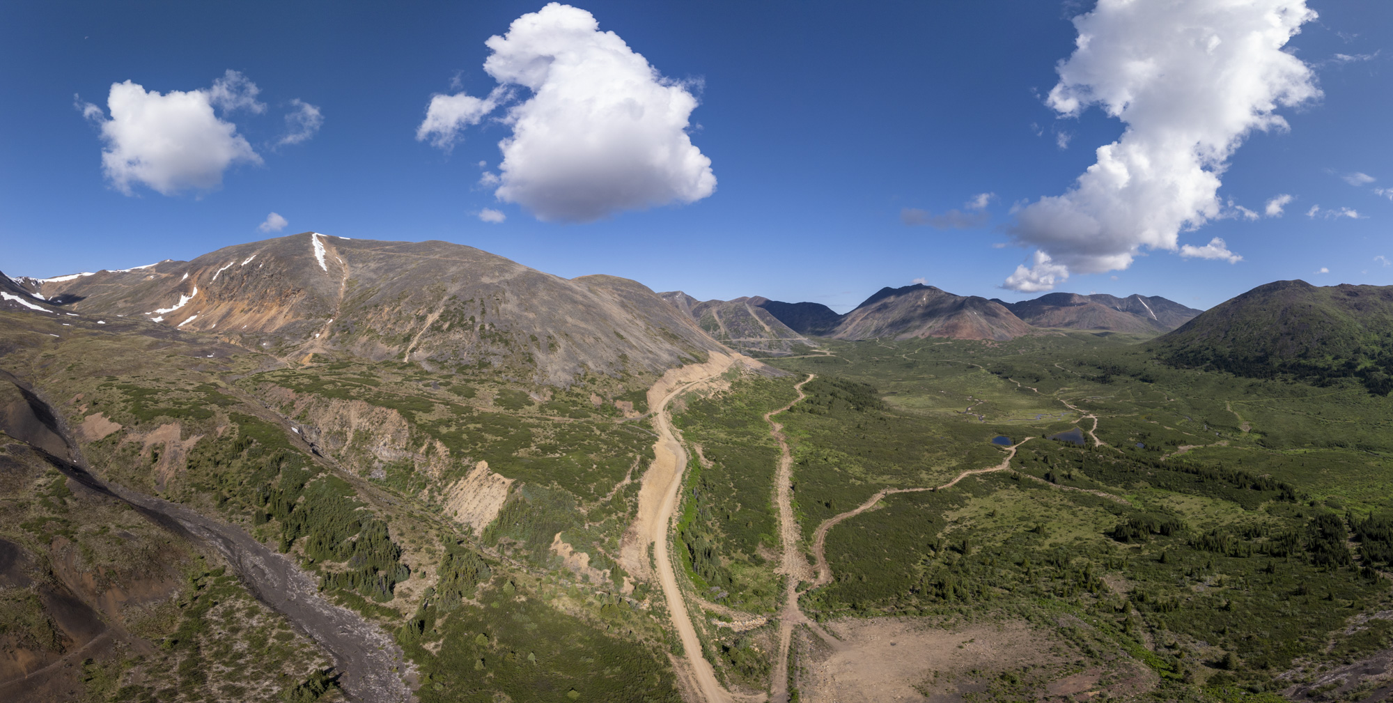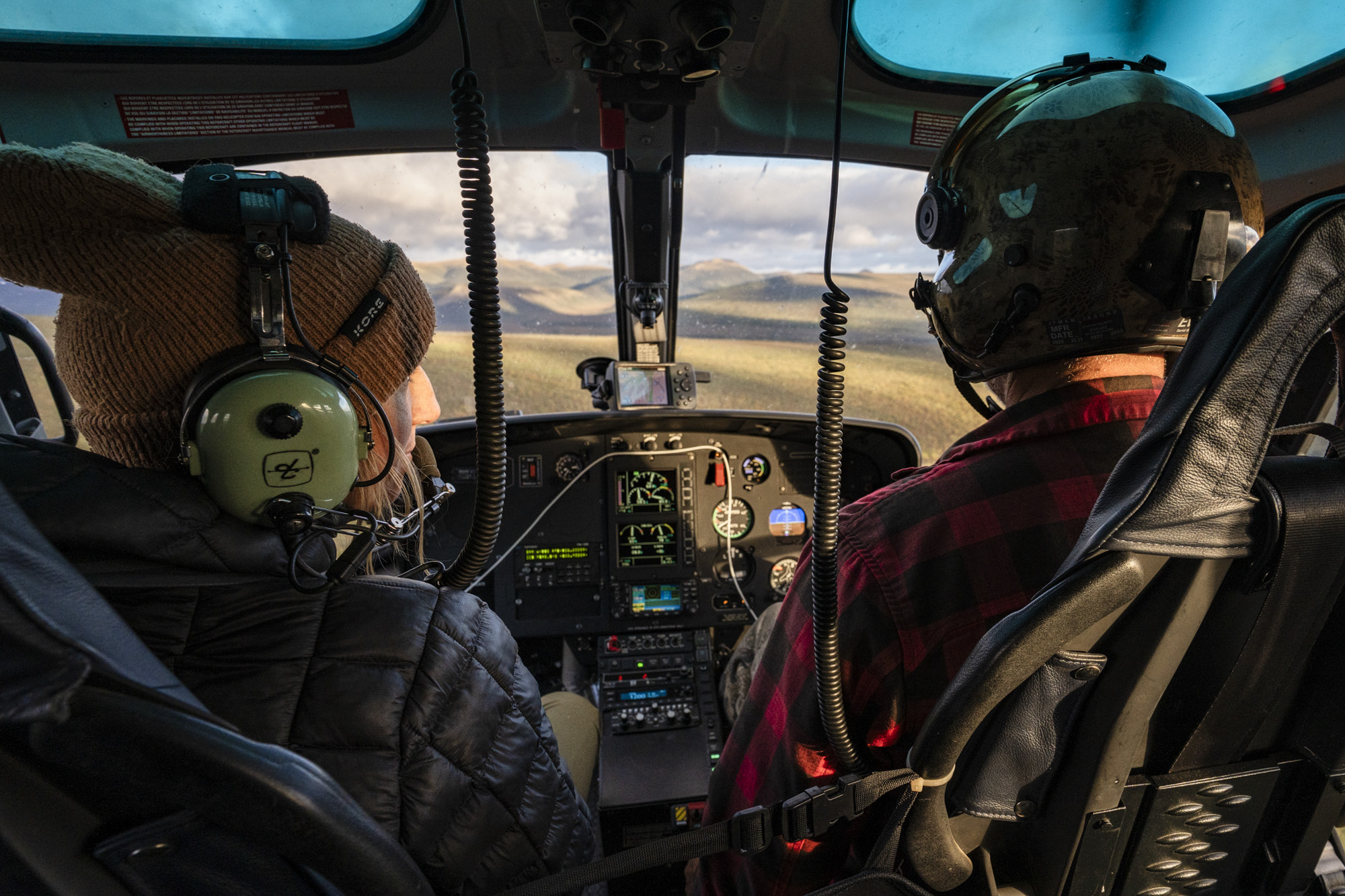
Narrative Mini-Documentaries
What we capture
Combining on-site interviews with cinematic field footage to humanize the project and define the vision.
How it sells the story
Investors don't just see a project; they meet the team and understand the scale, passion, and history behind the asset—and the challenges ahead.